Property Record
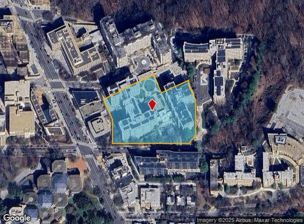
3003 Van Ness St Nw, Washington, DC 20008


NEARBY LISTINGS FOR SALE OR LEASE
Property Detail
3003 Van Ness St Nw
Washington-Arlington-Alexandria, DC-VA-MD-WV
Forest Hills
2049-0806
SQUARE 2049 LOT 0806 NBHD: FOREST HILLS
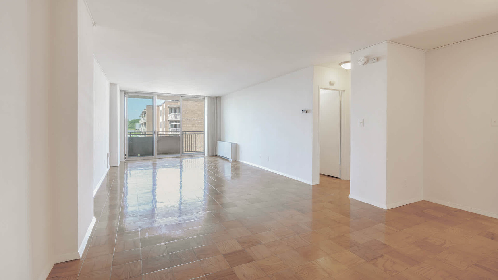
Apartment
District of Columbia
X
District of Columbia
24033C0110E
806
2024
4.19 AC
2024
Forest Hills
001303
Washington, DC
902,615 SF
DEMOGRAPHICS near 3003 Van Ness St Nw
1 Mile
3 Mile
5 Mile
2024 Total Population
23,425
284,701
678,810
2029 Population
21,028
259,113
638,636
Pop Growth 2024-2029
(10.23%)
(8.99%)
(5.92%)
Average Age
41
39
39
2024 Total Households
12,800
135,011
312,879
HH Growth 2024-2029
(11.11%)
(9.77%)
(6.59%)
Median Household Inc
$128,119
$120,301
$116,594
Avg Household Size
1.80
2.00
2.10
2024 Avg HH Vehicles
1.00
1.00
1.00
Median Home Value
$942,984
$882,943
$825,292
Median Year Built
1952
1949
1961
Nearby Places
- Restaurants
- Banks
- Shops
- Fitness
- Groceries
PUBLIC TRANSPORTATION
TRANSIT/SUBWAY
Van Ness-Udc (Red Line - Washington Metropolitan Area Transit Authority Metrorail (Metrorail))
DRIVE
WALK
Distance
Van Ness-Udc (Red Line - Washington Metropolitan Area Transit Authority Metrorail (Metrorail))
0 min
4 min
0.2 mi
Cleveland Park (Red Line - Washington Metropolitan Area Transit Authority Metrorail (Metrorail))
DRIVE
WALK
Distance
Cleveland Park (Red Line - Washington Metropolitan Area Transit Authority Metrorail (Metrorail))
2 min
12 min
0.7 mi
COMMUTER RAIL
Union Station (Brunswick Line - Maryland Area Regional Commuter Trains (The MARC), Camden Line - Maryland Area Regional Commuter Trains (The MARC), Fredericksburg Line - Maryland Area Regional Commuter Trains (The MARC), Manassas Line - Maryland Area Regional Commuter Trains (The MARC), Penn Line - Maryland Area Regional Commuter Trains (The MARC), Red Line - Maryland Area Regional Commuter Trains (The MARC))
DRIVE
WALK
Distance
Union Station (Brunswick Line - Maryland Area Regional Commuter Trains (The MARC), Camden Line - Maryland Area Regional Commuter Trains (The MARC), Fredericksburg Line - Maryland Area Regional Commuter Trains (The MARC), Manassas Line - Maryland Area Regional Commuter Trains (The MARC), Penn Line - Maryland Area Regional Commuter Trains (The MARC), Red Line - Maryland Area Regional Commuter Trains (The MARC))
13 min
5.9 mi
Silver Spring (Brunswick Line - Maryland Area Regional Commuter Trains (The MARC))
DRIVE
WALK
Distance
Silver Spring (Brunswick Line - Maryland Area Regional Commuter Trains (The MARC))
12 min
6.1 mi
AIRPORT
Ronald Reagan Washington Ntl
DRIVE
WALK
Distance
Ronald Reagan Washington Ntl
18 min
8.6 mi
Washington Dulles International
DRIVE
WALK
Distance
Washington Dulles International
45 min
24.3 mi
Baltimore/Washington International Thurgood Marshall
DRIVE
WALK
Distance
Baltimore/Washington International Thurgood Marshall
50 min
36.4 mi
Freight Ports
Port of Baltimore
DRIVE
WALK
Distance
Port of Baltimore
55 min
39.3 mi
Nearby Properties
Address
Land Use
TOTAL SIZE
Lot Size
Zoning
Address
Land Use
TOTAL SIZE
Lot Size
Zoning
120 SF
276.66 AC
UNZONED
Address
Land Use
TOTAL SIZE
Lot Size
Zoning
1.57 AC
D-5
Address
Land Use
TOTAL SIZE
Lot Size
Zoning
553,914 SF
55.91 AC
R-1-B
Address
Land Use
TOTAL SIZE
Lot Size
Zoning
469,183 SF
1.20 AC
D-5
Address
Land Use
TOTAL SIZE
Lot Size
Zoning
1,083,392 SF
15.33 AC
PDR-3,RA-2
Address
Land Use
TOTAL SIZE
Lot Size
Zoning
77.26 AC
R-3
Address
Land Use
TOTAL SIZE
Lot Size
Zoning
1,018,056 SF
1.14 AC
D-6
Address
Land Use
TOTAL SIZE
Lot Size
Zoning
247,900 SF
170.58 AC
UNZONED
Address
Land Use
TOTAL SIZE
Lot Size
Zoning
900,000 SF
12.60 AC
RA-4
Address
Land Use
TOTAL SIZE
Lot Size
Zoning
499,000 SF
1.48 AC
RA-4
Address
Land Use
TOTAL SIZE
Lot Size
Zoning
550,211 SF
1.42 AC
D-6
Address
Land Use
TOTAL SIZE
Lot Size
Zoning
997,890 SF
6.30 AC
CR3.0
Address
Land Use
TOTAL SIZE
Lot Size
Zoning
Address
Land Use
TOTAL SIZE
Lot Size
Zoning
1,835,827 SF
34.66 AC
UNZONED
Address
Land Use
TOTAL SIZE
Lot Size
Zoning
4.67 AC
MU-13,MU-1
Address
Land Use
TOTAL SIZE
Lot Size
Zoning
823,802 SF
7.30 AC
MU-2
Address
Land Use
TOTAL SIZE
Lot Size
Zoning
231,304 SF
37.44 AC
RA-1
Address
Land Use
TOTAL SIZE
Lot Size
Zoning
1,095,275 SF
30.70 AC
MU-4,RA-2
Address
Land Use
TOTAL SIZE
Lot Size
Zoning
795,214 SF
MU-5A
Address
Land Use
TOTAL SIZE
Lot Size
Zoning
216 SF
97.34 AC
R-1-B,R-3,
Address
Land Use
TOTAL SIZE
Lot Size
Zoning
250,345 SF
0.57 AC
D-5
Address
Land Use
TOTAL SIZE
Lot Size
Zoning
611,124 SF
0.96 AC
D-5
Address
Land Use
TOTAL SIZE
Lot Size
Zoning
256,187 SF
8.97 AC
RA-2
Address
Land Use
TOTAL SIZE
Lot Size
Zoning
394,104 SF
0.86 AC
D-5
Address
Land Use
TOTAL SIZE
Lot Size
Zoning
30,264 SF
43.94 AC
RA-1
Address
Land Use
TOTAL SIZE
Lot Size
Zoning
399,180 SF
0.46 AC
D-5
Address
Land Use
TOTAL SIZE
Lot Size
Zoning
468,389 SF
0.76 AC
MU-21
Address
Land Use
TOTAL SIZE
Lot Size
Zoning
528 SF
296.59 AC
R-3,R-1-B,
Address
Land Use
TOTAL SIZE
Lot Size
Zoning
444,526 SF
0.75 AC
D-5
Address
Land Use
TOTAL SIZE
Lot Size
Zoning
930,240 SF
2.32 AC
CR3.0
The World's #1 Commercial Real Estate Marketplace
Connect with us
© 2025 CoStar Group
The information above has been obtained from sources believed reliable. While we do not doubt its accuracy we have not verified it and make no guarantee, warranty or representation about it. It is your responsibility to independently confirm its accuracy and completeness. Any projections, opinions, assumptions, or estimates used are for example only and do not represent the current or future performance of the property. The value of this transaction to you depends on tax and other factors which should be evaluated by your tax, financial, and legal advisors. You and your advisors should conduct a careful, independent investigation of the property to determine to your satisfaction the suitability of the property for your needs.